Loading...
Loading...
Covering 2,590 square kilometres, the land area of Sharjah Emirate constitutes 3.3% of the UAE (excluding islands). Its inland area extends approximately 80 kilometres toward the Gulf of Oman, with a shoreline spanning just about 20 kilometres along the Arabian Gulf.
The Sharjah Emirate has 1.8 million residents, distributed throughout the capital city of Sharjah, as well as other cities in the central region and the east coast.
Apart from its land area, Sharjah Emirate is characterised by many other geographical features,
including:
Sharjah Emirate, centrally located among the northern emirates in the UAE, has Sharjah
City as its capital. It stretches along the coast of the Arabian Gulf for a distance of 3 miles.
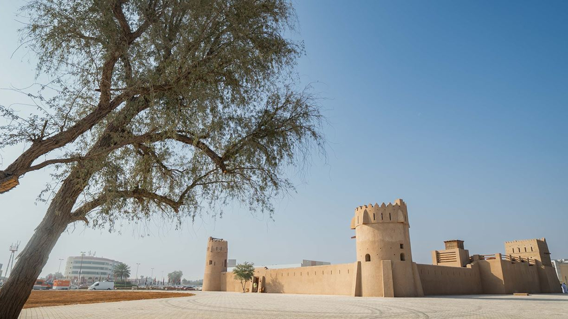
Sharjah City is the largest by land among the emirate’s cities, while Khorfakkan, positioned midway between Dibba Al-Hisn and Fujairah, claims the title of the largest city on the east coast region, about 137 kilometres east of Sharjah City. Other cities on the east coast include Kalba, which is the largest city in Sharjah Emirate before reaching the Oman border, positioned 120 kilometres east of Sharjah City. Also, Dibba Al-Hisn, a coastal town situated at the foot of the Hajar Mountains, reachable within 90 minutes from Sharjah.
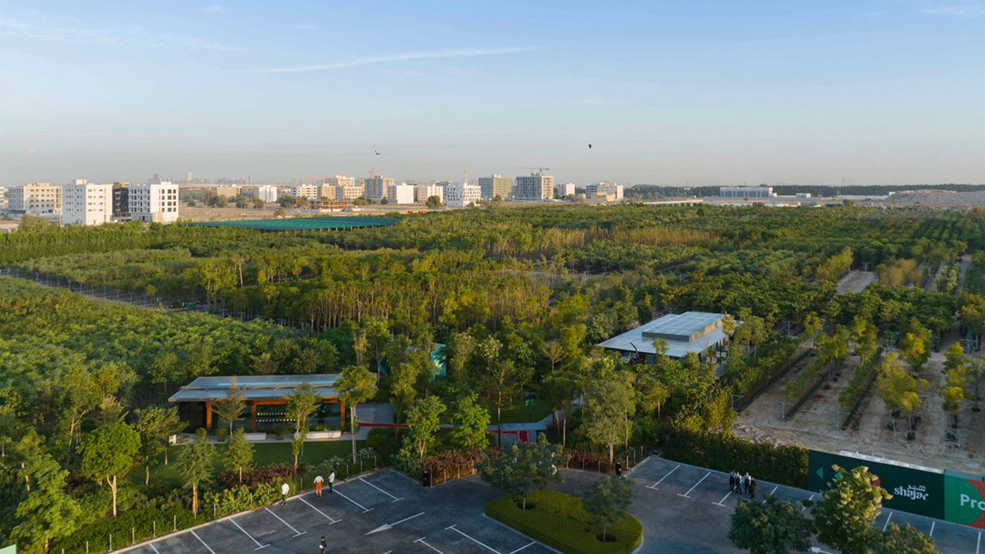
In the central region sits Al Dhaid, the emirate’s third-largest city and the UAE’s primary hub for fruits and vegetables. Positioned on a desert plain at the foothills of the Hajar Mountains, it lies about 60 kilometres east of the capital of Sharjah. Other areas and cities in the central region include Al Badayer, a desert region located 65 kilometres southeast of the capital on an elevated geographical spot in the Madam area.
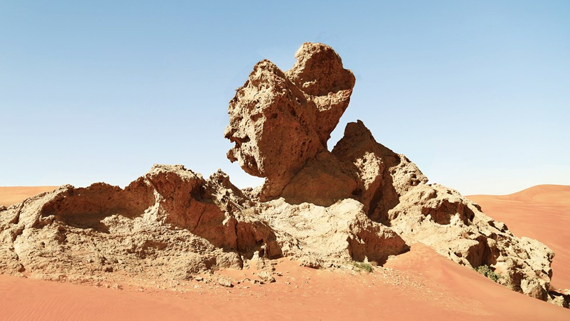
About 65 kilometres southeast of the capital lies Mleiha, located close to Jebel Fayah and south of Al Dhaid. Additionally, The Nahwa Enclave in Sharjah Emirate is situated in the Omani state of Madha, 16 kilometres southwest of Khorfakkan, and surrounded by Emirati territory from all sides.
Other areas in the Sharjah Emirate include Al Hamriyah, home to an industrial zone housing approximately 6,500 companies owned by investors from 160 countries worldwide. Spanning roughly 74 square kilometres, Al Bataeh serves as a pivotal link between Sharjah, the capital city, and other regions in the central part of the emirate.
The weather in Sharjah Emirate is pleasant during the winter and warm in the summer. Temperatures typically range from 25 to 35 degrees Celsius between November and April, featuring sunny and warm days. However, from June to September, temperatures can soar to 41 to 43 degrees Celsius. Despite the intense heat, widespread air conditioning in various facilities helps alleviate the discomfort. The influence of the mountains on the east coast moderates the climate, resulting in relatively cooler temperatures in the summer.
References
[1] u.ae, Sharjah
[2] u.ae, Abu Dhabi
[3] u.ae, Dubai
[4] alqasimia.ac.ae, تعرف على الشارقة
[5] ec.shj.ae, Sharjah
[6] sgmb.ae, SHARJAH
[7] visitsharjah.com, Sharjah Regions
[8] visitsharjah.com, Geography & Environment
[9] visitsharjah.com, Climate
 For an optimal experience, please
rotate your device to portrait mode.